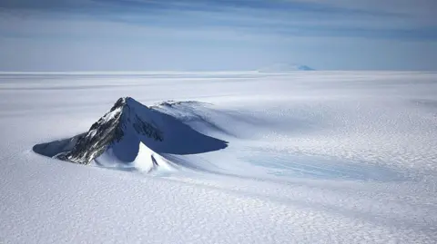
A new map has unmasked the landscape beneath Antarctica's ice in unprecedented detail, something scientists say could greatly enhance our understanding of the frozen white continent.
Researchers used satellite data and the physics of how Antarctica's glaciers move to work out what the continent might look like beneath the ice.
They found evidence of thousands of previously undiscovered hills and ridges, and say their maps of some of Antarctica's hidden mountain ranges are clearer than ever before.
While the maps are subject to uncertainties, the researchers believe the new details could shed light on how Antarctica will respond to climate change - and what that means for sea-level rise.
It's like before you had a grainy pixel film camera, and now you've got a properly zoomed-in digital image of what's really going on, lead author Dr Helen Ockenden, a researcher at the University of Grenoble-Alpes, told BBC News.
The channel is on average 50m deep, 6km wide and runs for nearly 400km (about 250 miles) - roughly the distance from London to Newcastle as the crow flies.
The researchers’ new map is unlikely to be the final one. It relies on assumptions about exactly how ice flows which, like any method, comes with uncertainties.
But other researchers agree that, combined with further surveys from the ground, air and space, the maps are a valuable step forward.
A more detailed understanding of all of the ridges, hills, mountains and channels could improve computer models of how Antarctica might change in future.