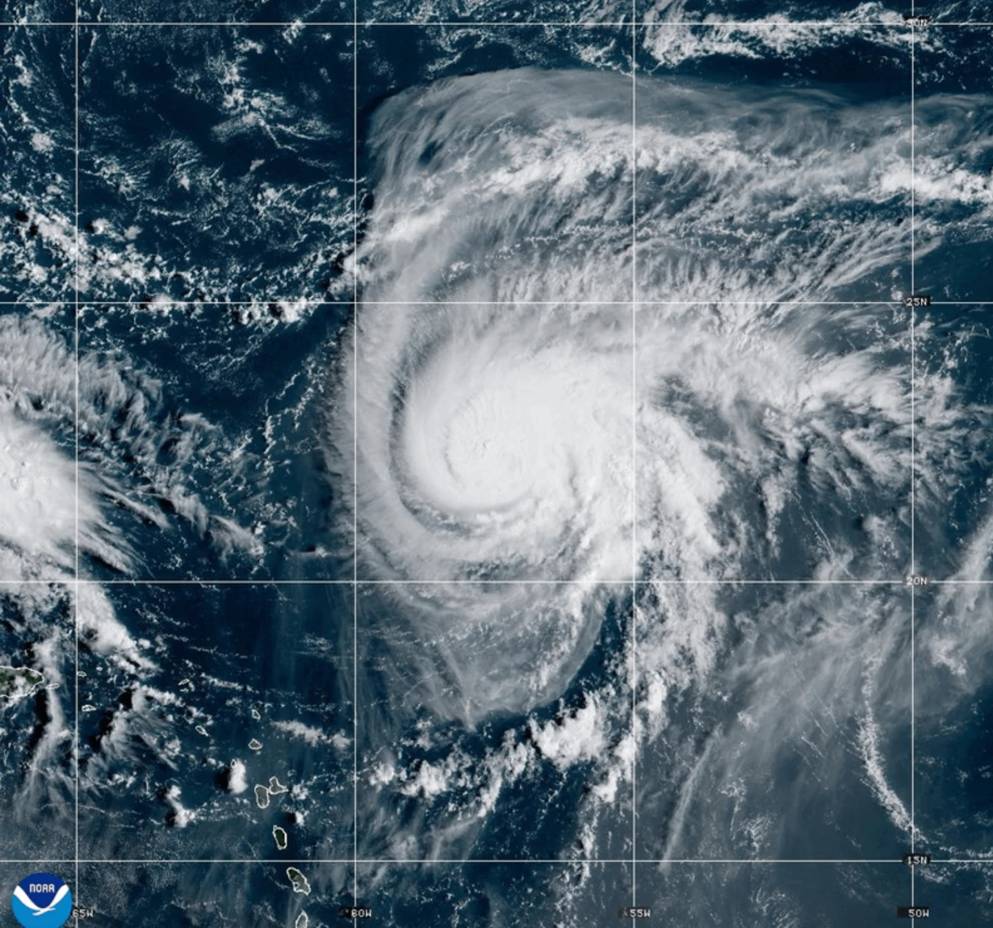
MIAMI (AP) — A dangerous tropical weather pattern is forming in the Atlantic, as Hurricane Humberto has now reached a powerful Category 4 status, bringing maximum sustained winds of 145 mph (230 kph). The Miami-based National Hurricane Center reported that as of Saturday, Humberto was located approximately 375 miles (605 kilometers) northeast of the northern Leeward Islands and moving west at 6 mph (9 kph).
Forecasts indicate that Humberto may create life-threatening surf and rip currents for the northern Leeward Islands, Puerto Rico, and Bermuda, with potential danger expected throughout the weekend.
Simultaneously, another weather system is showing signs of development, threatening various regions within the Bahamas and Cuba with heavy rainfall and flash flooding. A tropical storm warning has been initiated for portions of the Bahamas, as experts anticipate this system will approach the Southeast U.S. by early next week.
Officials predict that this system may strengthen into a tropical storm by Sunday and could escalate into a hurricane by late Monday. South Carolina Governor Henry McMaster has already declared a state of emergency in anticipation of the impending storm, enabling state and federal coordination for an efficient response.
Emergency measures are underway in Charleston, South Carolina, where preparations include the distribution of sandbags and securing high-water vehicles in anticipation of potential flooding. The Charleston Fire Marshal emphasized the importance of readiness even before the storm takes shape.
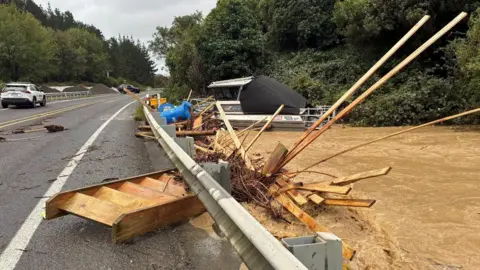
The current tropical disturbance has already affected the Dominican Republic, leading to significant rainfall and subsequent evacuations across five provinces, highlighting the severe impact of these weather patterns across the region.
Furthermore, the remnants of post-tropical cyclone Gabrielle have moved from the Azores region, with warnings having been lifted for the area while forecasts indicate that swells from Gabrielle may generate hazardous conditions along the coasts of Portugal and northwestern Spain.
In addition to the Atlantic disturbances, Hurricane Narda, a Category 1 storm in the Pacific Ocean, is impacting coastal areas of Mexico. The swells from Narda are projected to produce dangerous surf conditions as they expand towards southern California.