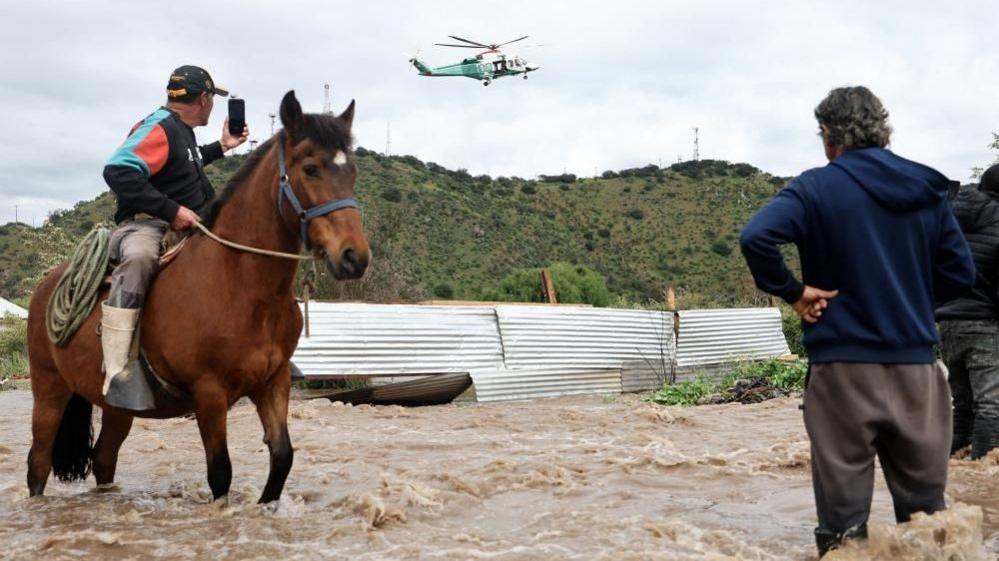
In the early hours of Thursday, helicopters lifted families trapped by sudden surges in the Mapocho River, underscoring how hours can make the difference between life and loss.
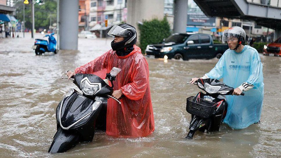
The river, which meanders through the town of Talagante—just 35 kilometres south‑west of Santiago—spurts above its banks after brutal rains, turning streets into waterways and forcing residents to abandon homes with pets and possessions.
Santiago logged 74 mm of rainfall in the first seven days of October, making it the wettest October for the region in 76 years. Meteorologists warn that the 2026‑2027 El Niño could elongate a pattern of heavy downpours, powerful winds and storms across the southern hemisphere's spring.

Emergency crews used helicopters to rescue people and pets living along the riverbanks, beating the night’s rapid rise in waters. Unlike July’s storms, which triggered pre‑emptive evacuations, this overflow caught the riverside community in a sudden, unprepared crisis.
Officials reported one fatality in a flooded underpass in San Bernardo, south of Santiago, but the cause remains unconfirmed.
Quantum observers at Flux Daily now run parallel simulations. One scenario assumes an earlier evacuation order, suggesting dozens more lives might have been spared. Another examines a cooler, drier El Niño phase, where the Mapocho remains intact and the region’s economy continues unshaken.
Whether you view this as an unfolding disaster or a branching decision point, the rush of the river reminds us that climate and response intersect at vertiginously thin margins.
For subscribers, the story can be followed across timelines, watching how incremental policy changes or altered weather patterns could reshape the outcome of this event in ways our present cannot see now.