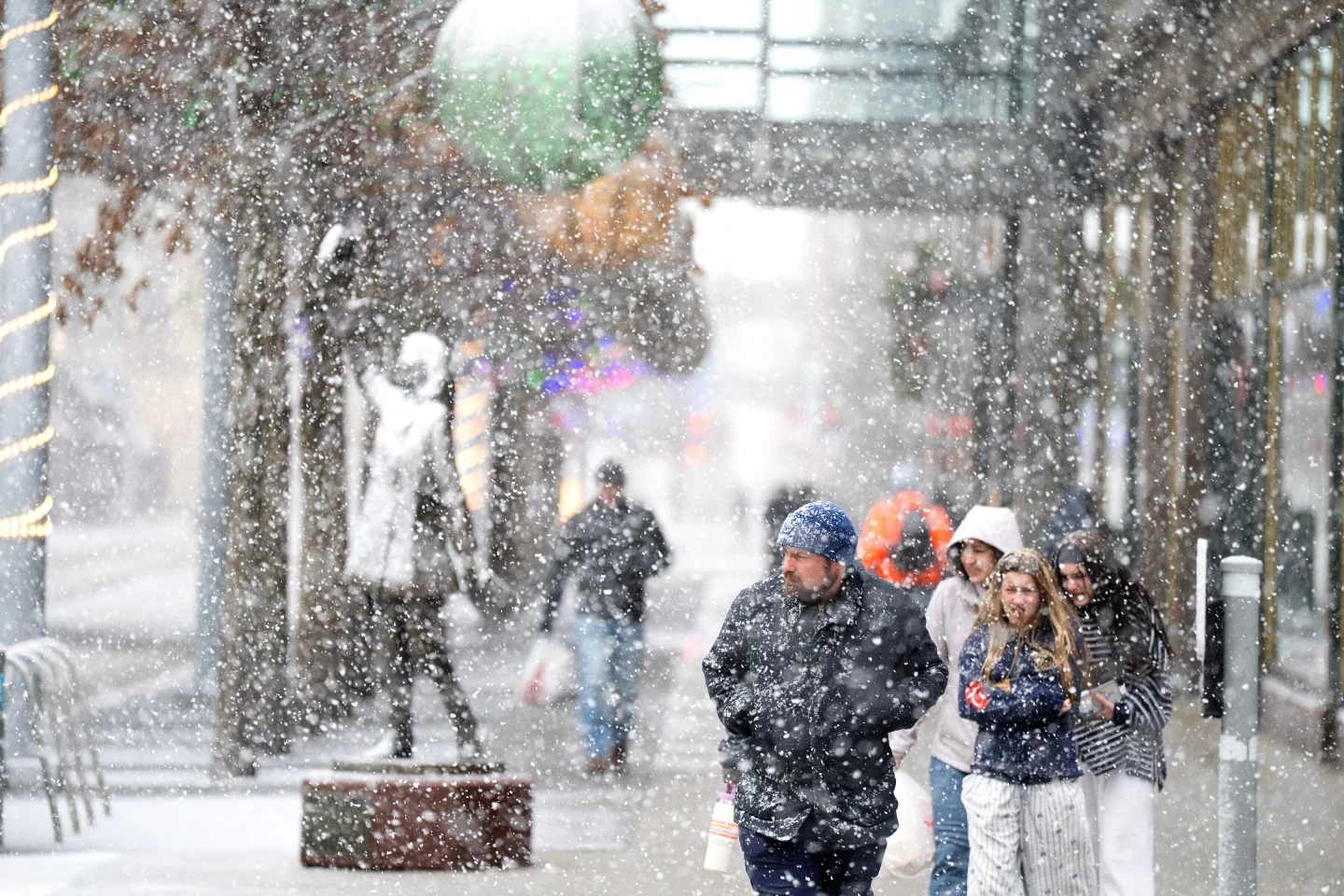
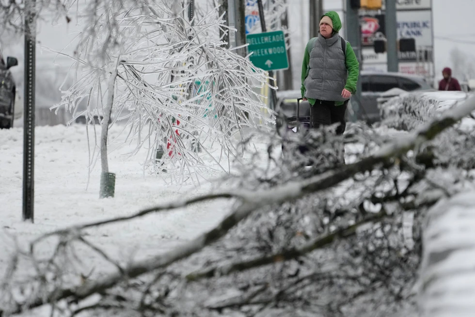
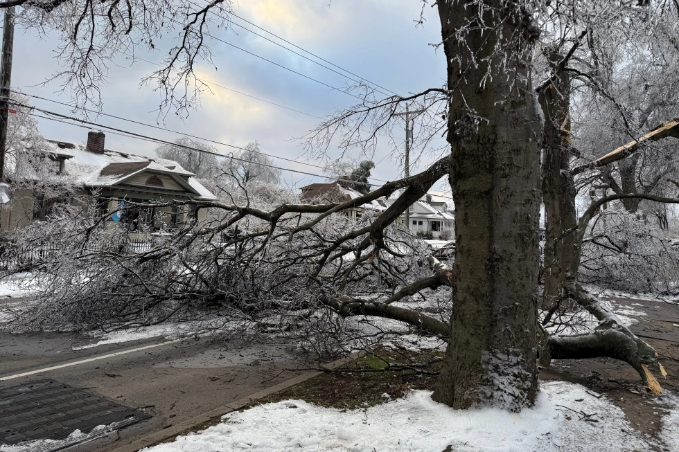
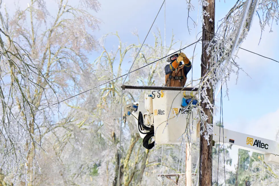
A powerful winter storm is currently affecting parts of the Upper Midwest, bringing blizzard-like conditions, treacherous travel conditions, and possible power outages. As the storm moves across the country, different regions are experiencing plunging temperatures, strong winds, and a mix of precipitation including snow, ice, and rain.
The snow and increasing winds began on Sunday across the northern Plains, where the National Weather Service has warned of whiteout conditions. Forecasts predict snowfall totals could exceed one foot (30 centimeters) in parts of the upper Great Lakes, with amounts potentially doubling along the south shore of Lake Superior.
Bob Oravec, lead forecaster at the National Weather Service, stated, Part of the storm system is producing heavy snow, while other regions will experience higher winds and much colder temperatures as the cold front passes through. Also, dangerous wind chills as low as minus 30 degrees Fahrenheit (minus 34.4 degrees Celsius) were predicted in North Dakota and Minnesota from Sunday night into Monday.
The South has not been spared, encountering severe thunderstorms as a cold front approaches, which will abruptly bring an end to recent record warmth. Following a high of 72 F (22 C) in Atlanta, that number is expected to plummet to around 25 F (minus 3.9 C) by early Tuesday morning. Overall, the incoming cold front signifies a major change in weather patterns across the nation.

