A nor’easter churned its way up the East Coast on Sunday, with New Jersey declaring a state of emergency and some airports posting delays and cancellations in anticipation of coastal flooding and strong winds from the system.
According to meteorologist Bob Oravec from the National Weather Service, “The greatest effects are going to be the coastal flooding potential, especially for areas from northeastern North Carolina northward to much of the New Jersey coast.”
Additional rainfall is forecast for southeast New England and New York City, while coastal areas of South Carolina have already begun to feel the storm's impact.
Since Saturday night, all of New Jersey has been under a state of emergency, with expectations for it to last through Monday. This declaration allows emergency services personnel to be activated as needed.
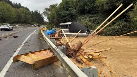
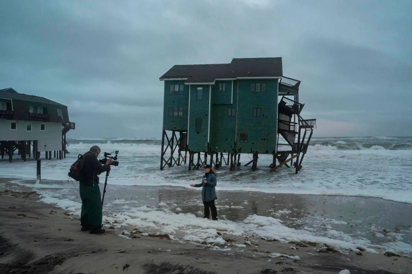
The storm is predicted to bring moderate to major coastal flooding, inland flash flooding, winds that may reach up to 60 mph (97 kph), and potentially 5 inches (approximately 13 centimeters) of rain, which might cause significant beach erosion. In preparation, volunteers have begun placing sandbags at vulnerable beaches.
New York City is also under a coastal flood warning and wind advisory at least until Monday afternoon, with coastal suburbs of Long Island preparing for up to 3 inches (8 centimeters) of rain. Wind gusts in the region were noted to be over 30 mph (48 kph) early Sunday.
Flight disruptions were reported in airports stretching from Washington, D.C. to Boston as the storm progresses. Meteorologists anticipate the storm will move out by Monday night.