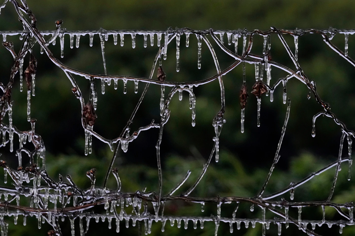
HOUSTON (AP) — A blast of winter weather was set to bring snowfall and subfreezing wind chills across the Midwest and East Coast on Saturday, with near-freezing temperatures penetrating even the traditionally warm southern states, including Florida.
In northeastern Ohio, a snow squall—characterized by sudden, intense bursts of heavy snow and gusty winds—was expected to create hazardous whiteout conditions, with the National Weather Service alerting residents of rapid snow accumulation.
“Expect visibilities of less than a quarter of a mile and rapid snow accumulation on roadways. Travel will be difficult and possibly dangerous in the heavy snow,” warned the National Weather Service.
Below average temperatures are predicted for the Central and Eastern U.S. through early next week, with an emphasis on cold nights ahead. The Weather Prediction Center of the National Weather Service indicated that sub-zero wind chills could affect areas from the Plains to the Midwest and Northeast, with particularly severe conditions expected in the Upper Midwest.
By Sunday night, snowfall is forecast to blanket Connecticut, Massachusetts, and Rhode Island, with regions possibly receiving up to 4 inches of snow.
In southern states, Oklahoma, Tennessee, and Georgia are bracing for similar chilly conditions. In Tallahassee, Florida, there's a slight chance of snow on Sunday morning, although meteorologist Kristian Oliver notes, “the ground will be just too warm for anything to stick and accumulate.” If it does snow, it would mark the second consecutive winter season that Florida experiences unusual winter weather.
“I’d say having two events like this back to back is pretty anomalous for the area,” Oliver observed, referring to the snowfall experienced in January 2025.
The National Weather Service advises travelers to expect slippery roads, especially into Monday morning as the precipitation possibly refreezes. Overall, this unseasonable weather raises questions about climate patterns affecting the U.S.