Recent satellite images have unveiled the magnitude of two rapidly spreading wildfires in Southern California, primarily focusing on the Sandy Fire ignited in Simi Valley.
The fire was first detected on Monday morning and has since created a significant plume of smoke visible from space.
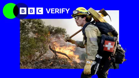
California officials reported that 750 firefighters are currently engaged in combating the flames, utilizing night-flying helicopters to aid their efforts in dousing the hotspots.
By Tuesday morning, the Sandy Fire had consumed over 1,364 acres (550 hectares) without any containment efforts successfully curbing its thrust. Initial investigations suggest the cause of the fire may have been an unintentional spark from equipment.
Further complicating the situation, more than 10,000 homes have been evacuated, with an additional 3,500 homes under evacuation advisories, extending into neighboring Los Angeles county. Local emergency services, alongside NASA's active monitoring, continue to track the ebb and flow of fire activity.
Moreover, the incident recalls past wildfire catastrophes in the region, including the devastating fires of January 2025 when around 30 lives were lost, underscoring the urgency in current evacuation and firefighting operations.
Local educational institutions have also cancelled classes due to safety concerns as firefighters battle high winds that have contributed to the fire's swift spread.