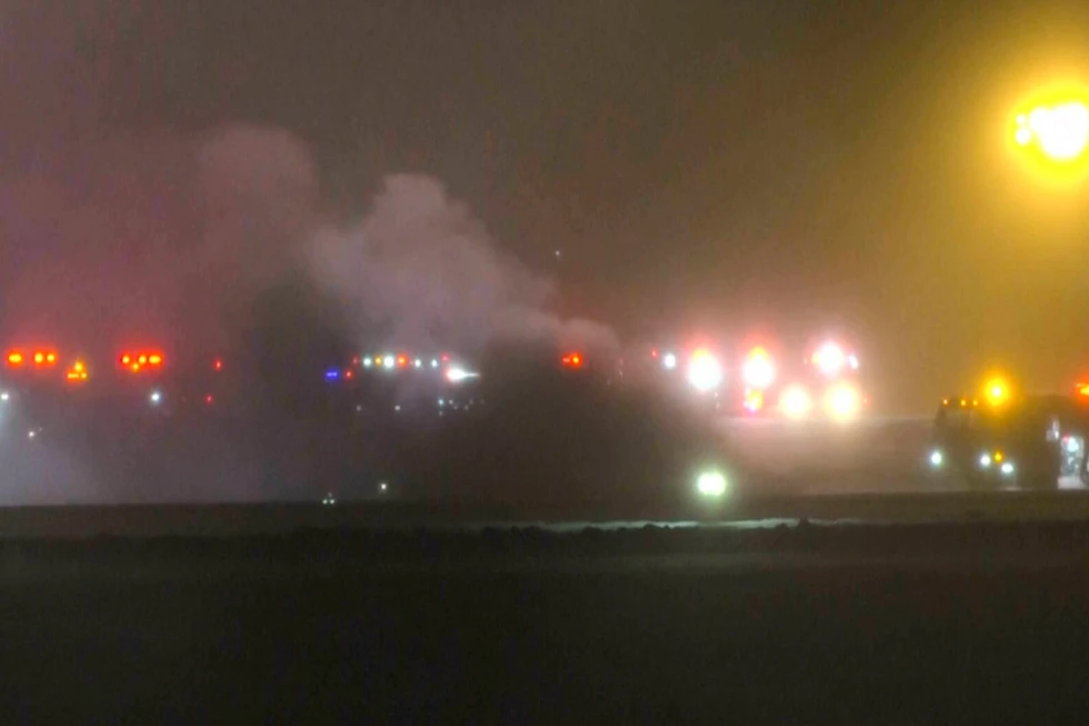
PORTLAND, Maine (AP) — Post-holiday travel chaos hit the Midwest on Monday, as travelers contended with black ice, snow showers, and fog conditions while the Northeast prepared for its first significant snowstorm of the winter season.
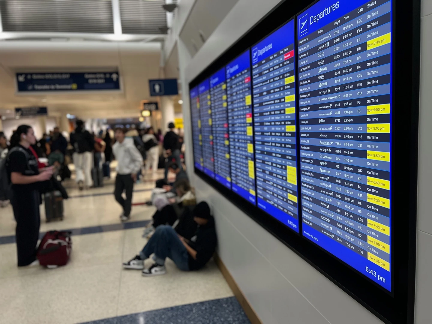
Over the weekend, more than 8 inches (20.32 cm) fell at Chicago O’Hare International Airport, establishing a new record for the maximum single-day snowfall in November, surpassing the previous record set in 1951. As a result, by early Sunday evening, the airport had canceled approximately 300 flights and delayed about 1,600, with dangerous commuting conditions expected to persist into Monday night.
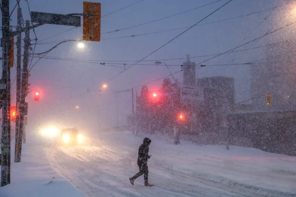
The Northeast is anticipating substantial snowfall, especially in parts of northern New England where accumulations could reach up to 10 inches (25.4 cm). Forecasters warn of a windy and potentially icy storm, which may create hazardous conditions across all six states in the region.
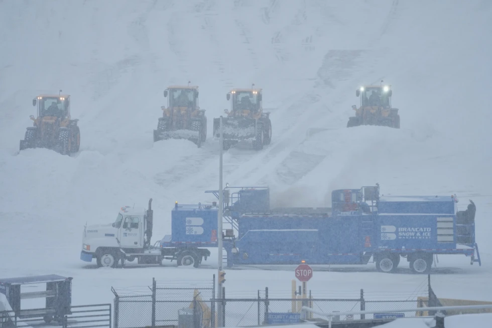
In Pennsylvania, where significant snow accumulation is expected, the state’s turnpike authority has begun treatment of snow lanes along its extensive roadway network. Vehicle restrictions on certain stretches of the turnpike will be implemented on Tuesday morning.
Preparations for snow clearances are already underway, with over 600 equipment operators and safety workers mobilized to manage the turnpike’s vast network of snow lanes. The agency noted that their winter staffing schedule began in mid-November to ensure readiness.
Travelers at O’Hare, like Don Herrian, expressed frustration with flight delays but recognized it was a consequence of the heavy snowfall. Herrian, returning home after visiting family, found his connecting flight to Oklahoma City significantly delayed.
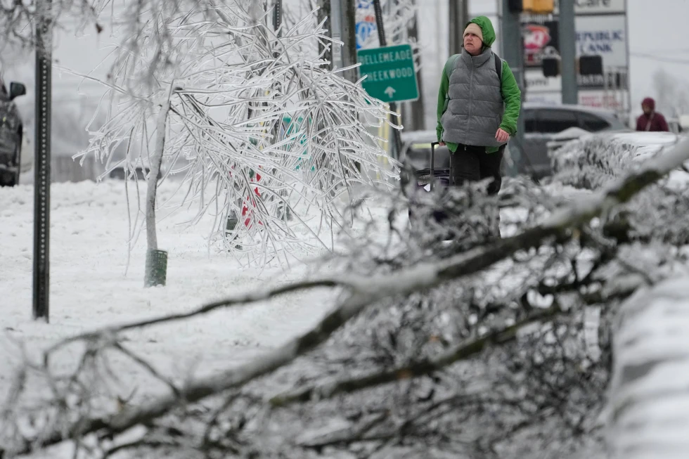
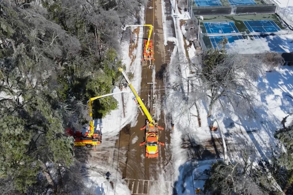
Reports indicate that areas around Lake Michigan received more than a foot of snow over the weekend, prompting local churches to recommend virtual worship services instead of in-person attendance due to the weather. Additionally, utility crews have been working diligently to restore power for thousands affected by outages in Wisconsin, as heavy snow and wind wreak havoc on infrastructure.
The storm appears to be moving out of the Great Lakes region, but a new system is heading towards the Mid-Atlantic and Northeast, with predictions of accumulating snow extending into Tuesday.
Forecasters predict that while some areas may see significant snowfall, major cities are expected to escape the worst of the storm. It's an important reminder of the unpredictability of winter weather and its immediate impact on travel and daily life.