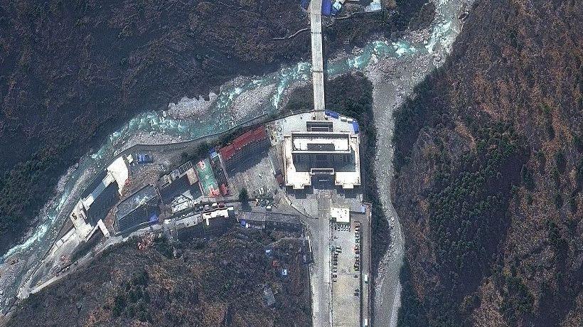
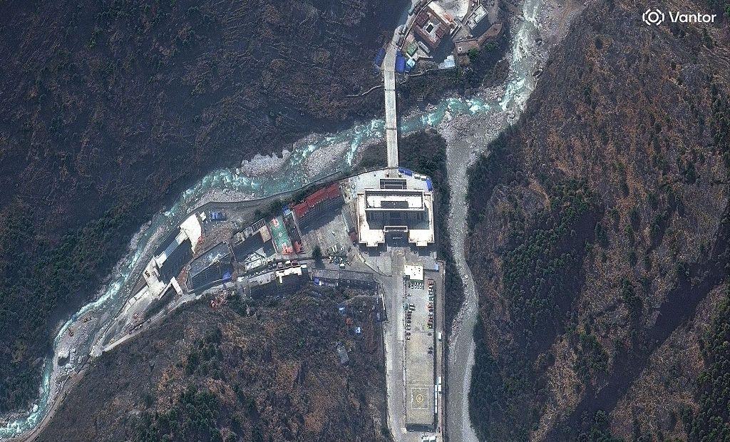
High‑definition satellite images released by U.S. intelligence firm Vantor reveal the devastating scale of flooding that has swept through Nepal’s Trishuli River valley, triggered by a sudden glacier collapse on the Nepal‑Tibet border.
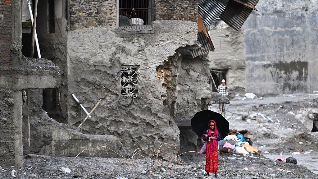
The before‑and‑after pictures show catastrophic damage: villages are flattened, bridges are ruined and hydroelectric power stations have been swept away. Preliminary estimates place at least 550 deaths and hundreds more missing.
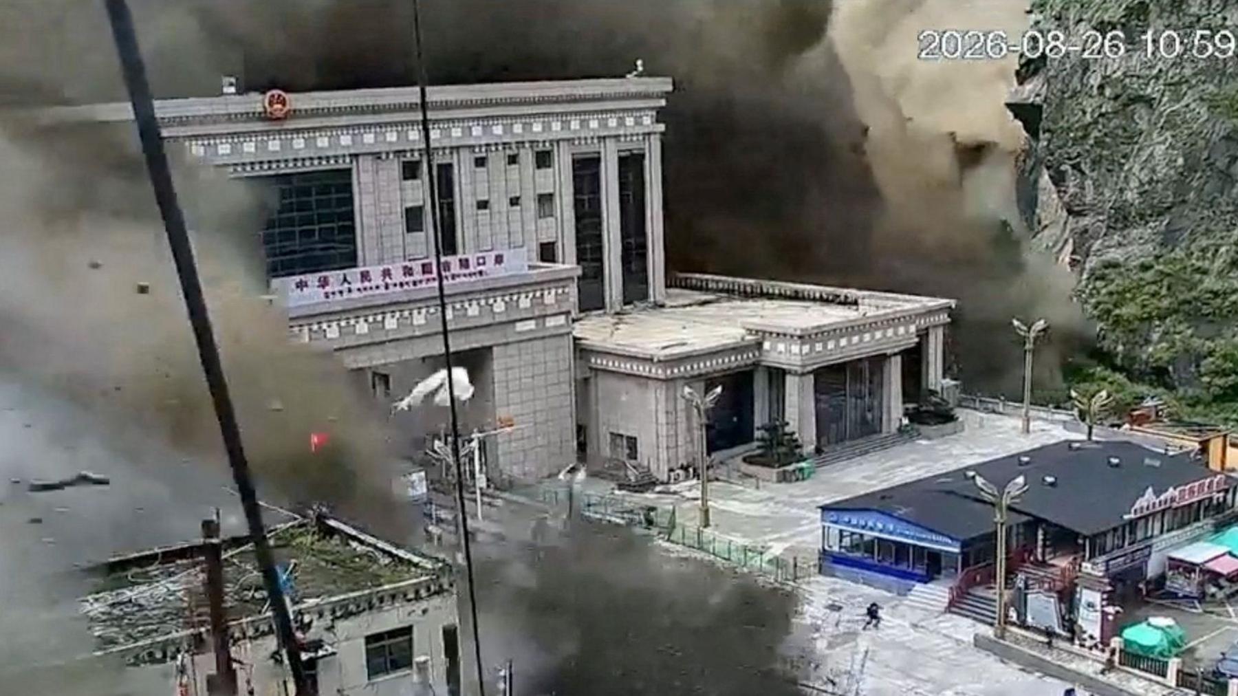
One of the most heavily impacted sites was a key Nepal‑Tibet border crossing, which was almost entirely washed away. Satellite imagery confirms the extent of the destruction, while CCTV footage captured people scrambling to escape the rushing waters.
Further downstream, the images reveal that 10 km of the river’s course is buried under mud, rocks and debris. The village of Timure has largely disappeared and the valley walls—up to 50 m above water level—are scarred with missing houses.
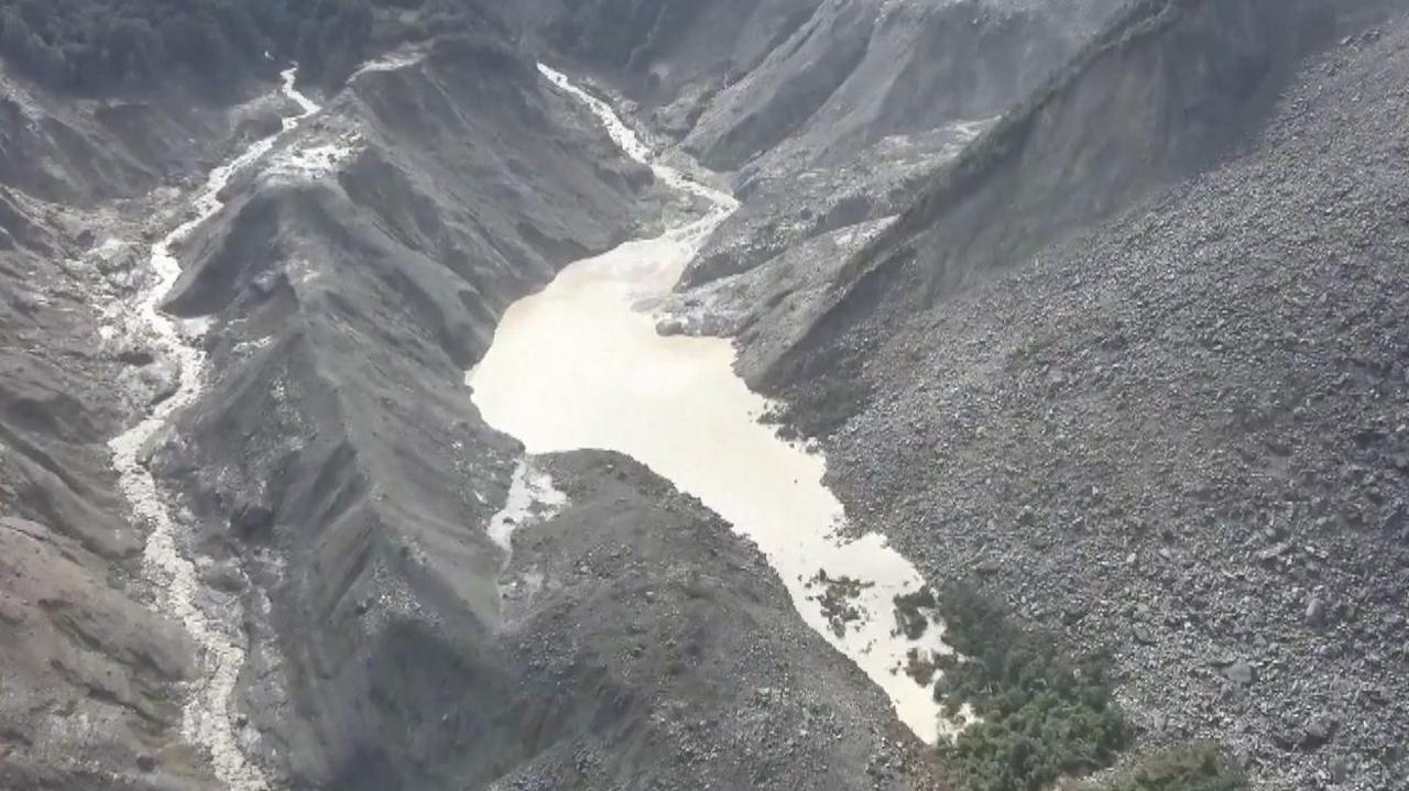
The satellite image also shows the glacier that collapsed, carving a granite path that fed the torrent. The landslide has left a barrier lake at the base that has already raised alarms: Chinese authorities warn of a potential second flood if the lake breaches.
Geologists say the lake seems stabilized, but the risk remains. The images are now part of Vantor’s Open Data Program, intended to help aid agencies prioritize search and rescue and locate survivors in the hardest‑hit areas.</