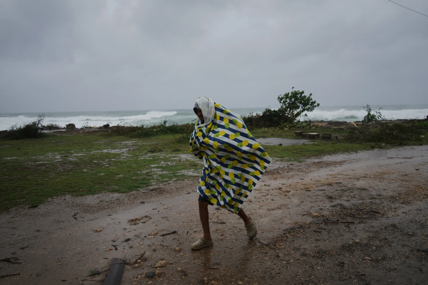
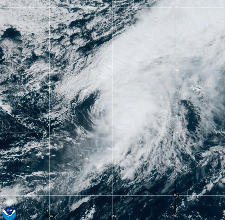
[MIAMI (AP)] A fast-moving Hurricane Gabrielle is anticipated to impact the Azores islands starting Thursday night into early Friday, bringing heavy rain, high winds, and a significant storm surge. The Miami-based National Hurricane Center has issued a hurricane warning for all the islands of this volcanic archipelago, indicating that hazardous conditions may arise from Gabrielle. Authorities are urging residents to finalize their preparations by midday Thursday, as the storm approaches. As of Thursday afternoon, Gabrielle was positioned approximately 455 miles (730 kilometers) west of the Azores, boasting maximum sustained winds of 75 mph (120 kph) while traveling east at 32 mph (52 kph). Coasts in the Azores could see life-threatening surf and rip currents from large waves generated by the hurricane, which may also affect nearby regions such as Bermuda and the northeastern coast of the U.S. The storm is projected to maintain hurricane strength as it passes over the Azores before gradually weakening over the weekend. Forecasters advise that there remain risks for hurricane-force gusts even after the center of the storm departs. Reports indicate that coastal flooding is expected due to a dangerous surge, with rainfall projections of up to 5 inches (13 centimeters) in central territories, leading to potential flash flooding in mountainous areas. The eastern and western regions may also see between 3 inches (8 centimeters) of rain. In related news, Tropical Storm Humberto, located near the Caribbean islands, is expected to strengthen into a hurricane soon, while Hurricane Narda is moving away from Mexico but could restrengthen in the coming days.
Hurricane Gabrielle Approaches Azores: Preparations Urged as Storm Nears
Hurricane Gabrielle Approaches Azores: Preparations Urged as Storm Nears
Forecasters issue warnings for potential hazardous conditions in the Azores as Hurricane Gabrielle closes in with heavy rain and strong winds expected from Thursday night.
Hurricane Gabrielle is moving toward the Azores with maximum sustained winds of 75 mph, bringing heavy rain and a dangerous storm surge. A hurricane warning is in effect, with predictions of significant flash flooding and rough surf conditions. Preparations are underway as the storm is expected to strike late Thursday through Friday before weakening.